


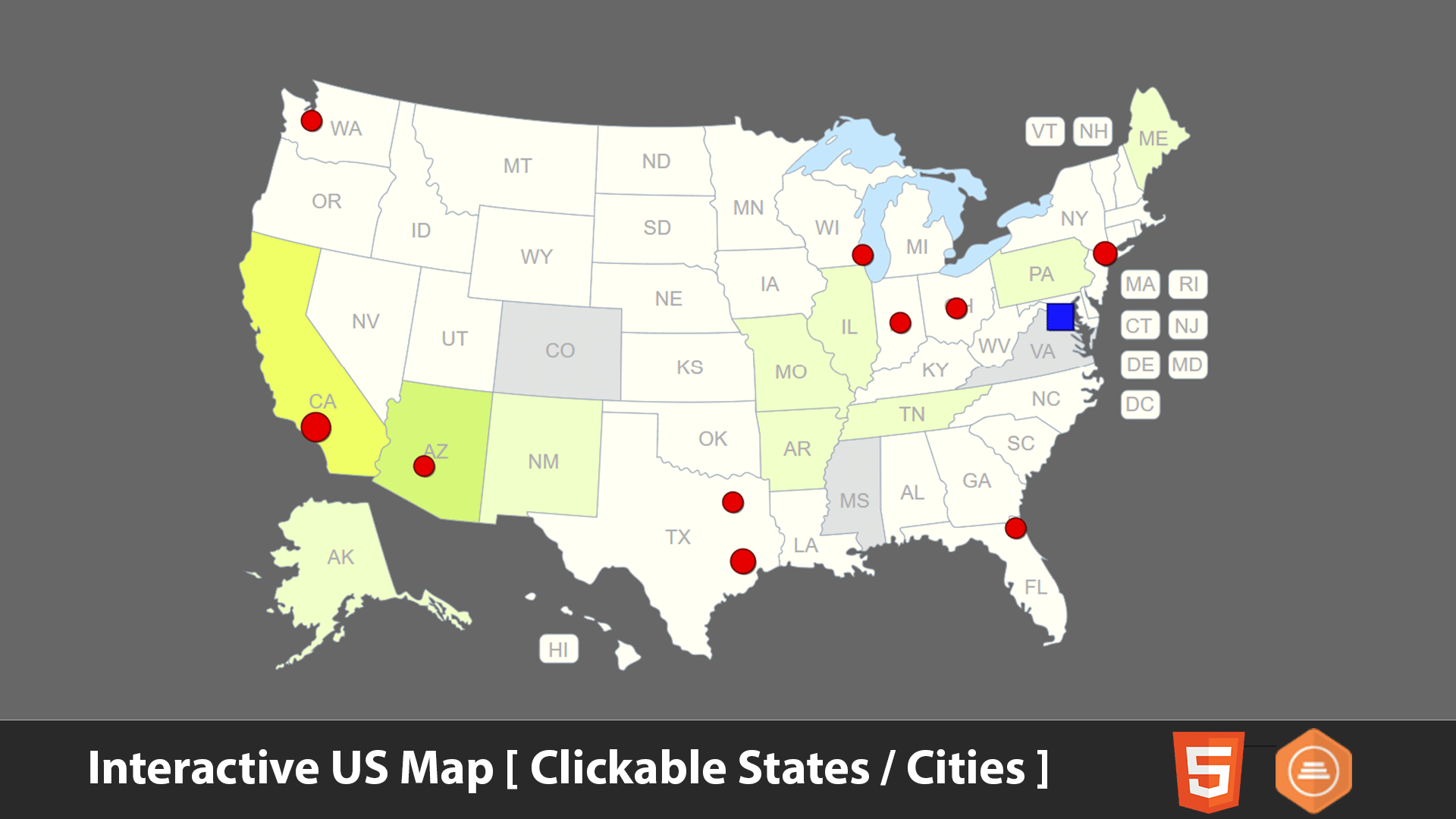
Interactive USA Map – Clickable States / Cities
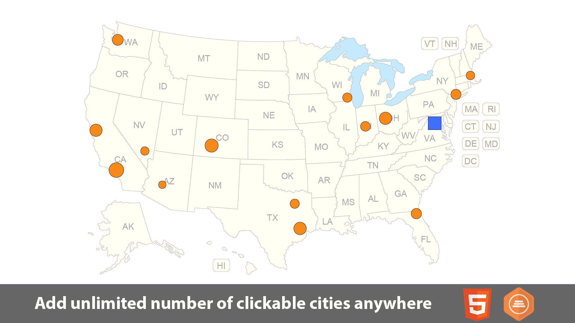
The interactive template of the USA map gives you an easy way to install and customize a professional looking interactive map of the United States with 50 clickable states plus DC, plus an option to add unlimited number of clickable pins anywhere on the map, then embed the map in your website and link each state/city to any webpage.Features
- SVG (Scalable Vector Graphics) based, responsive and fully resizable.
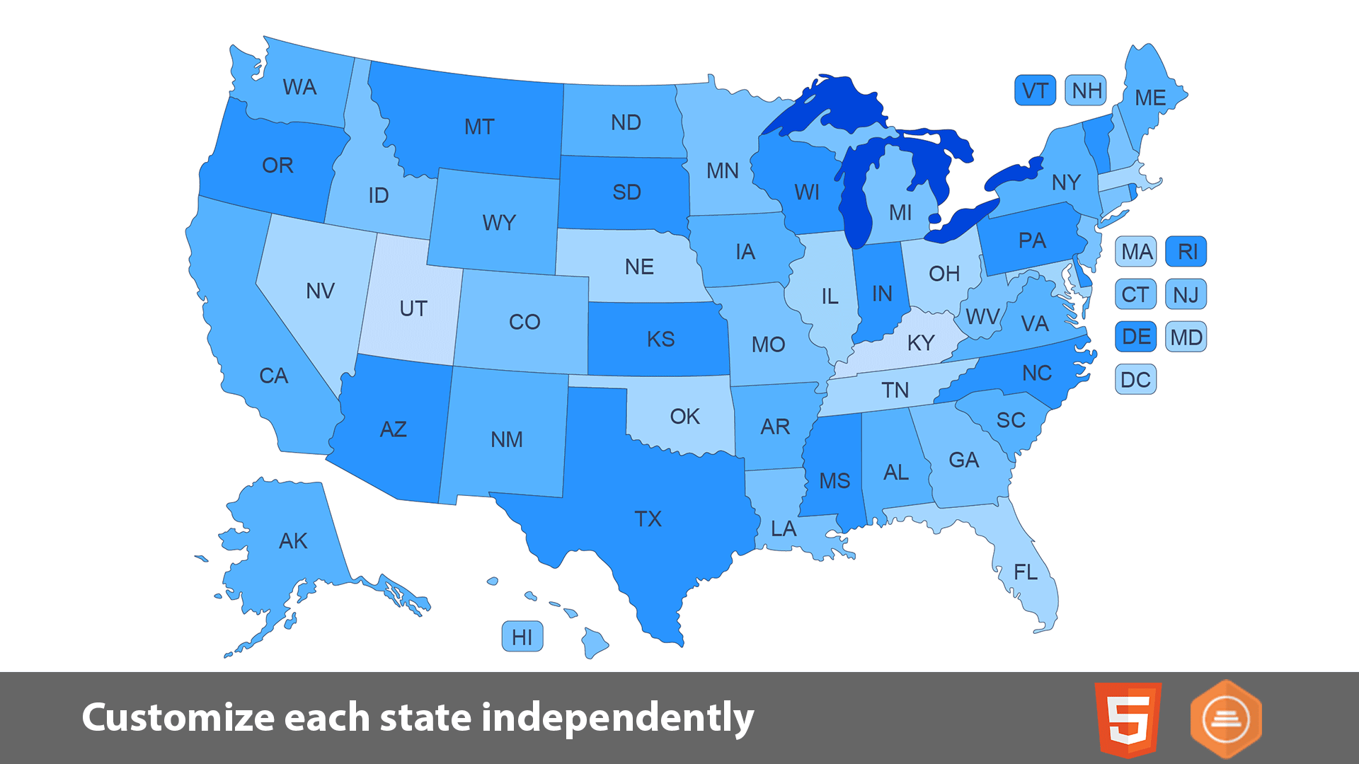
- States can be customized independently (colors, link, hover information, activate/deactivate, etc).
- Add unlimited number of clickable pins anywhere on the map.
- You can link each state/pin to any webpage or open a modal window.
Note: The modal window option works only with Bootstrap framework, if you are not sure or if you don’t know how to use it, you need to ask your website template / WordPress theme provider. - Easily customized through simple JavaScript files ( JavaScript knowledge is not required ).
- The map consists of HTML/CSS/JS files. Also include installable WordPress plugin zip file and customized by manual editing of simple JavaScript files (NO JavaScript knowledge required).
- You can embed as many maps as you want in the same website in different pages, (for WordPress you can install up to 3 instances of the map plugin).
Learn more!
Other Interesting maps:
This item was featured on CodeCanyon
Elite Author
© All Rights Reserved Art101
Contact the Envato Market Help Team
Contact the Envato Market Help Team