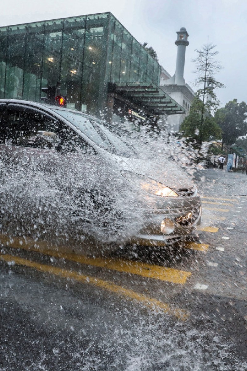
Super Typhoon Mangkhut approaches HK as Observatory warns of rough seas and flooding
The storm is expected to cause strong wind, rain and floods as it enters the South China Sea

 It's going to be a rainy weekend, guys.
Get ready to spend the weekend vegging out on the sofa; there’s a storm on the way. Super Typhoon Mangkhut is expected to enter the South China Sea on Saturday, bringing strong winds, rain, and possible flooding to Hong Kong and the coast of Guangdong over the weekend.
The storm will pick up speed as it enters the sea, but the Hong Kong Observatory is still unsure what path it will take.
“The forecast track of Mangkhut could be similar to Hato (the typhoon that caused a Signal No. 10 in August last year) but it may vary and it’s hard to say,” said Senior Scientific Officer Queenie Lam Ching-chi.
Super typhoon Mangkhut expected to hit HK this weekend, HKO warns of possible T8
Lam said the typhoon poses a very severe threat due to its high intensity, with rough seas, swells, heavy rain, storm surges, low area flooding, and backflow of seawater expected on Saturday and Sunday.
Currently, the storm has a maximum sustained wind speed of 240km/h at its centre, and while it’s predicted to weaken after it passes though the Luzon Strait and into the South China Sea, it is still expected to remain very high.
Lam noted that Hato had a wind speed of 185km/h and it passed by Hong Kong at a distance of 60km.
Find out how Hong Kong's weather shattered numerous records in 2017
“The effects [Mangkhut] will have depends on its distance, relative position, and wind wall structure. But, due to its strength, even if it doesn’t pass by Hong Kong as close as Hato, it will still have severe effects and pose a considerable threat.”
The Observatory advised members of the public to be prepared for the weather to affect weekend plans, and to stay tuned for further updates.
Edited by Charlotte Ames-Ettridge