Clear Creek highlights
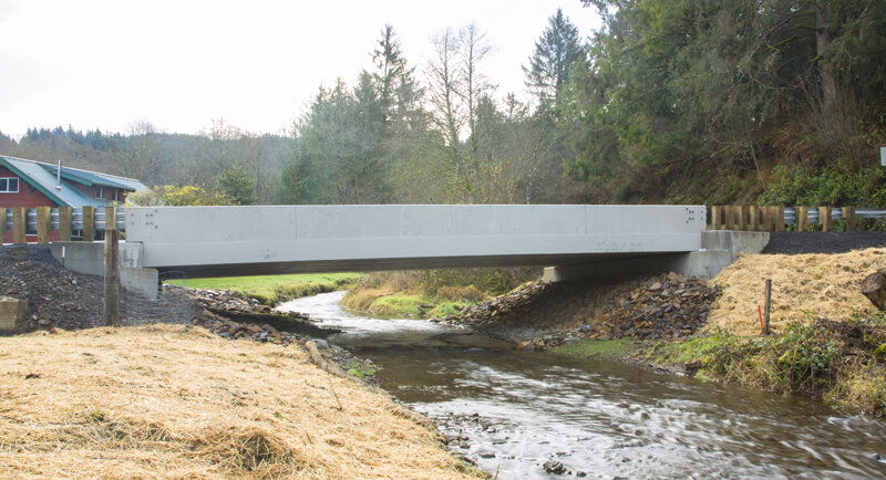
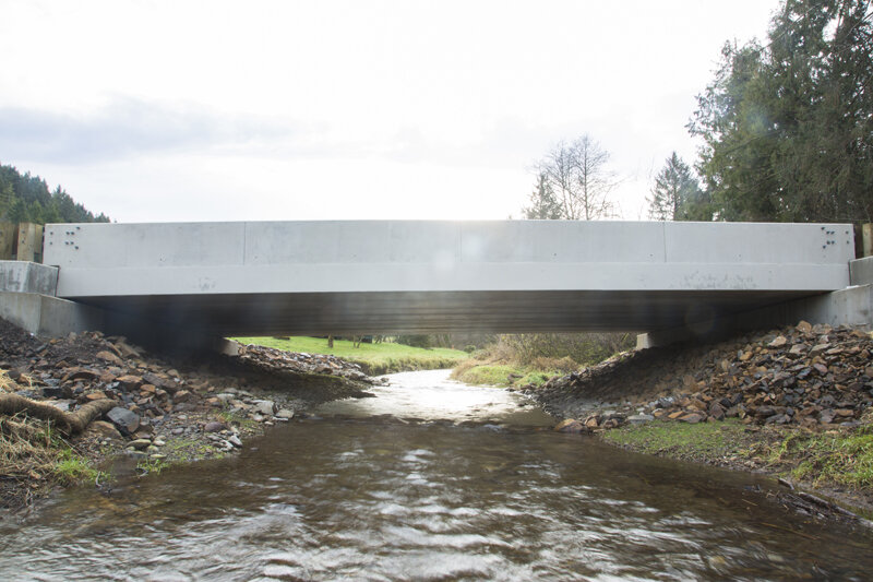
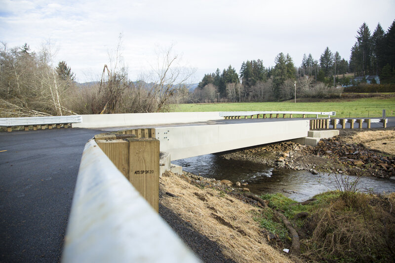
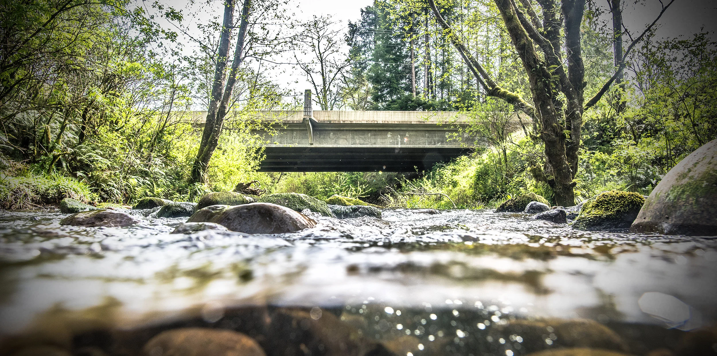
The completed bridge over Clear Creek
“Salmon were observed upstream of the project site just weeks after project completion!”
Project oVerview
Started: 9/20 Completed: 11/20
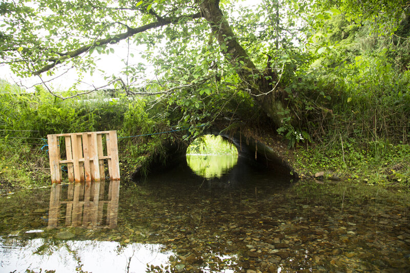
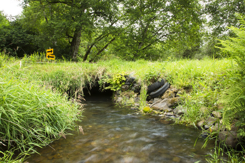
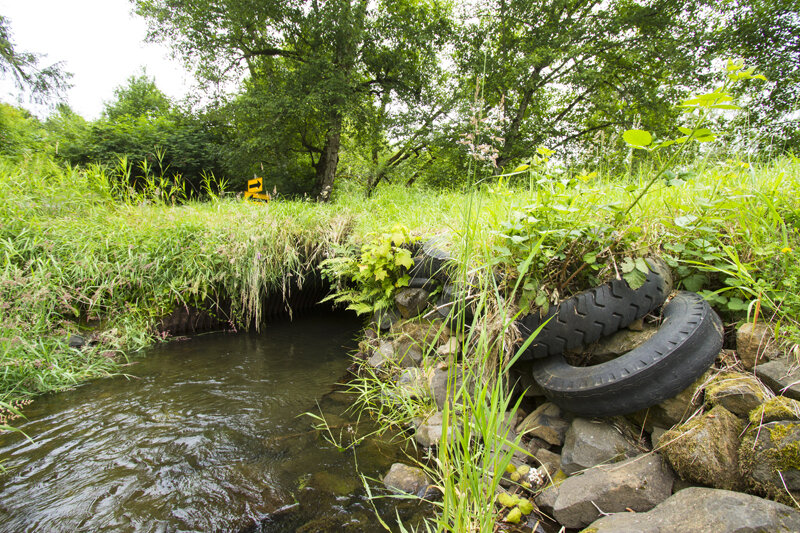
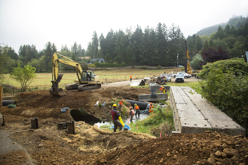
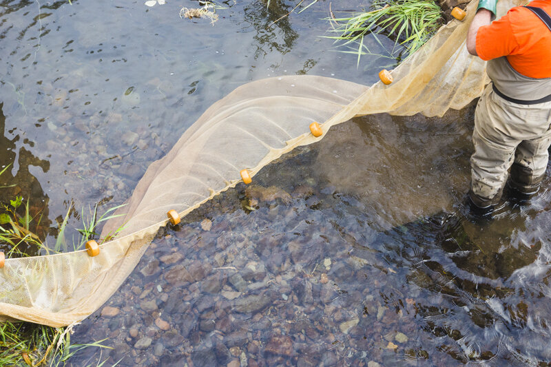
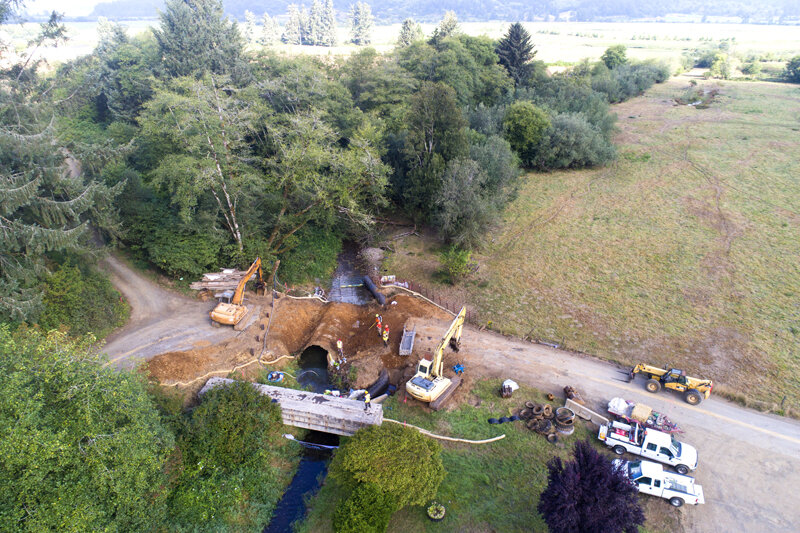
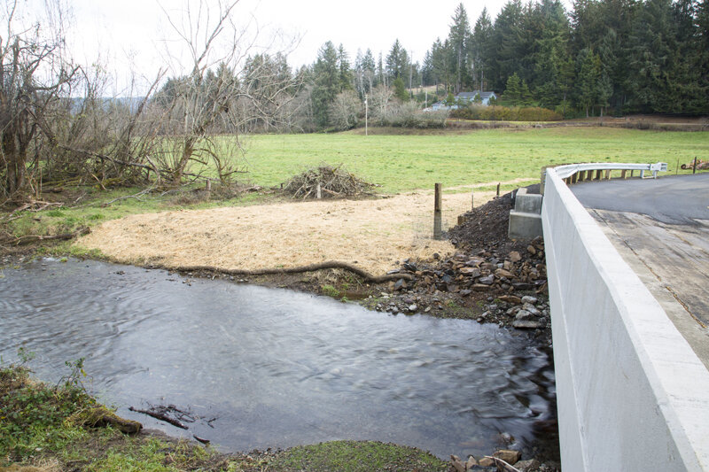
The Nestucca River is critical spawning and rearing habitat for multiple ESA-listed stocks of salmon, as well as Coastal Cutthroat Trout and Pacific Lamprey. The Clear Creek watershed encompasses 3,700 acres with 4.4 miles of fish habitat. From its headwaters, Clear Creek passes through Siuslaw National Forest lands before entering privately managed pasture and rural residential development. The culvert proposed for replacement is on Tillamook County owned and managed Jenck Road south of the community of Cloverdale. The project culvert is the only remaining fish passage barrier on Clear Creek. Replacing this failing culvert with a bridge will restore access to over four miles of habitat.
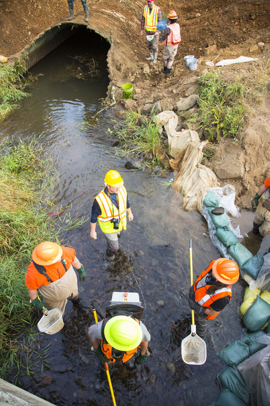
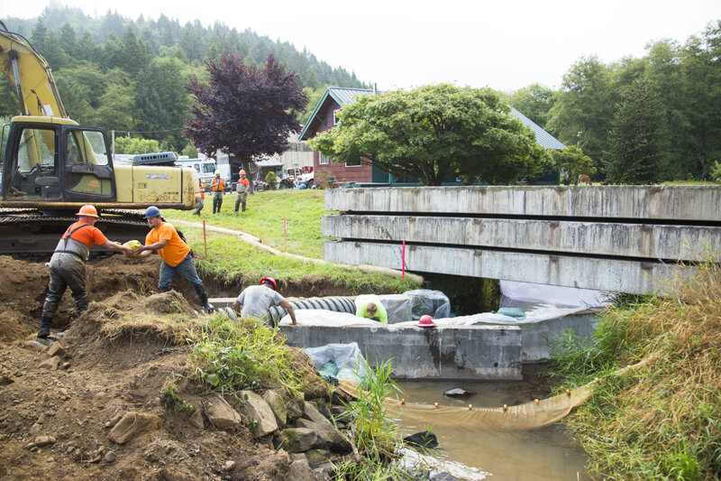
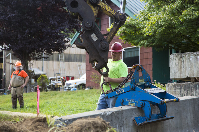
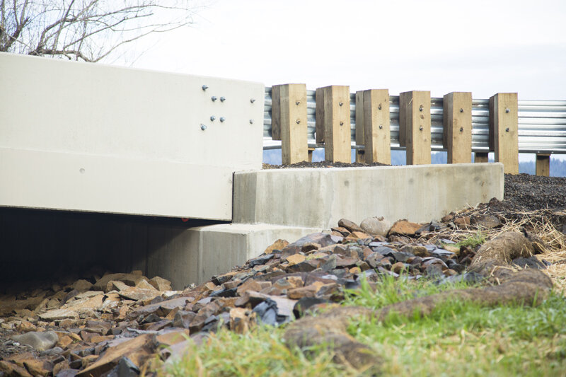
This culvert crossing was replaced with a 52’ long concrete bridge structure with a pile-driven foundation. The streambed was reconstructed using streambed simulation methodology. This technique emulates the stream’s natural bedform, including gravels and boulders, to create optimal fish habitat and passage.
Highly successful Partnership
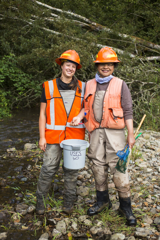
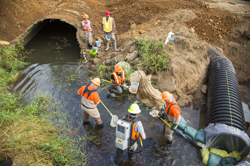
The success of the Clear Creek project was largely due to the collaborative nature of Salmon SuperHwy partners involved included federal, state and county agencies, in addition to non-profits and watershed councils. Each of these entities brought a unique perspective and value to the project.
The US Forest Service provided initial site surveys, streambed simulation designs, federal permitting and technical assistance in project implementation, as well as cash contribution. The US Fish and Wildlife Service provided technical assistance, design review and cash contribution. Tillamook County Public Works (TCPW) provided design review, construction management as well as in-kind contribution in the form of construction materials. The Nestucca, Neskowin & Sand Lake Watersheds Council provided project management, state and local permitting and contracting. The Oregon Department of Fish & Wildlife provided technical assistance in project implementation. The Oregon Watershed Enhancement Board and NOAA provided significant cash contribution.

Benefits
• Restored access to 4.4 miles of anadromous fish habitat.
• Improved sediment and large wood transport.
• Secured safe use of Jenck Road for residents, industry and emergency vehicles.
• Added to the local economy by hiring local companies for construction, engineering and documentation.
Species + Infrastructure
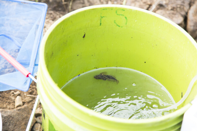
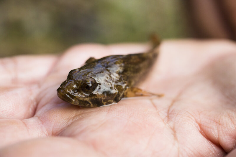
Clear Creek currently provides habitat for coho salmon, and historically supported healthy populations of chum, steelhead, Chinook and cutthroat trout. Clear Creek has interactive floodplains, large cobble, significant summer flow volumes, an ideal gradient profile, an active beaver population and an abundance of high quality spawning gravel throughout the watershed.
Jenck Road is identified as a critical bypass to Highway 101. Along Highway 101 there is a natural, low elevation point where King Tides and heavy storm surges reach the highway. In the case of a natural disaster, Jenck Road, and this crossing over Clear Creek, become critical infrastructure for emergency responders to make the North – South connection with Highway 22 to the Willamette Valley and other points east.
Partners
Nestucca Neskowin Sand Lake Watershed Council • US Forest Service • US Fish and Wildlife Service • Tillamook County Public Works • Oregon Watershed Enhancement Board • OR Dept. of Fish and Wildlife • National Oceanic and Atmospheric Administration
cost + funding
TOTAL COST: $469,550
NOAA: $36.4K
USFWS: $40K
OWEB: $230,K
USFS: $25K/$20K in kind
TCWP: $118K in kind