Peak 91 - Granite Mountain - Panoramic Views from a Prominent Peak
Granite Mountain
Elevation: 5,633’
Mileage: ~7.5
Trailhead: Cool Canyon Trailhead
Agency: Anza-Borrego Desert State Park
Date Hiked: 12/11/2021
Peakbagger.com Page
For those interested, here is a list of my gear that I have found works well for me. This is, of course, an affiliate link and your enjoyment of these may vary:
Over the past few months prior to this hike, I had made some attempts to summit Granite Mountain from the south, via Rodriguez Canyon.
Try #1 - April 2021

My tent on the side of Granite Mountain on a windy afternoon
On the first try, after exploring the area with Jason @themuirproject, I went back out on the rugged Mason Valley Truck Trail, making a right at the Rodriguez Spur Truck Trail, parking not far after the junction.
I carried my overnight backpack, looking to camp near the summit. On the day of the trip, however, high winds were in the forecast.
I followed the old mining trail to the mine and went partially up the ridge on the other side when I was struggling to maintain my footing against the wind.
I descended and decided to camp near the mine for the evening and return another day for a summit attempt. The wind howled all night until about 5AM. I slept well, even though a vestibule stake was sent flying in the wee hours and I woke up to a flapping vestibule.
Try #2 - November 2021

The view from my Desert Exploration
I headed back out on Mason Valley Truck Trail, this time intent on summiting Granite Mountain as a day hike.
However, the road I passed easily in my AWD RAV4 a few months back was now filled with large rocks that prevented me from continuing to the trailhead I easily got to that last time, effectively adding about 2+ miles each way to my hike. I decided to hike cross country up a lower ridge to see if I’d be able to make it to the top. Given the slope and the rising heat, I wasn’t completely convinced I would make it.
I explored some of the area and stopped at my turnaround time, high on a ridge.
I was bummed as I hadn’t summited, but I was happy that I had some fun exploring the area. I had lunch on the ridge, enjoying the view, knowing I would come back and try the more popular eastern approach.
Try #3 - December 11, 2021
This time, the weather was cooler as I drove on the dirt road leading to the Cool Canyon trailhead. Once again, I was the only car for miles as I rolled to a stop and got ready for the hike in the cool silence of the desert morning.

Starting out in Cool Canyon
I entered the sandy wash of Cool Canyon, having fun scaling some low dry falls. Each one had a slightly different color and the swirls within the granite were interesting.


After scaling the tallest dry fall in Cool Canyon proper and seeing a frozen pool of water in a depression in the smooth gray rock, the canyon floor turned right to the north.

Ice pool on top of the dry fall looking back down the canyon
Not long after, I saw a cairn at the mouth of a wash to the left (east). I continued up this wash, missing another cairn I didn’t see until my descent.
I recommend ascending the east-west ridge on the right (north) side of this wash near its mouth. There is a cairn on the right near a small red dry fall there, marking a faint use trail to the ridge top, where the use trail continues on its spine.
I, however, continued up this wash, and scaled a tall dry fall with smooth red rock. I checked my map and realized I should have been on the ridge to the right (north). I scrambled steeply up the ridge, finding a sometimes very faint use trail at the top.

If you've reached this tall dry fall, you've gone too far up the side wash
From here, the trail steeply followed the top of the ridge as the sun rose higher. I reached a flat spot with several large boulders. This could be a nice secluded spot for a quick backpacking trip. I scanned above, looking for a good spot to ascend, as the way was choked with boulders as far as I could see. I headed to the left, spotting a cairn appearing to lead the way around the boulders. However, the cairns appeared and disappeared until I had slowly navigated my way through the first of many boulder piles.

Looking up the ridge to Granite Mountain

Looking down from the ridge trail to the valley floor

Keep following the ridge ever upward. The way is to up to the right.
I was roughly following the dotted line in the Gaia GPS base map, but that likely made me work harder than I needed to. I took a much different way to the right (north) roughly down a gully on the way down.

Working my way through the rocks, acacia, cactus, and agave
I made it to the summit of Peak 4624 and enjoyed a snack on its broad summit and noted that this was also a nice place to put a tent for the evening. But I knew I still had another 1,000’ of climbing before I’d be at the top.

The flat summit area of peak 4624. More flat area to the right.
Eyeing the ridgeline far above me, I then dropped down to an easy shoulder before having to navigate through more boulders.

At the shoulder after peak 4624, with the maze of boulders above
This area required a lot of concentration. I ended up finding and losing the trail numerous times, backtracking and then excitedly finding the trail only to lose it again in 10 feet or so. Many cairns have been left over the years, making this section mostly a choose-your-own-adventure.

The cairned trail continues up another rocky bump and beyond to Granite Mountain
There was a lot of scooting up large boulders, scanning intently for the trail and cairns, and avoiding dangerous plants.
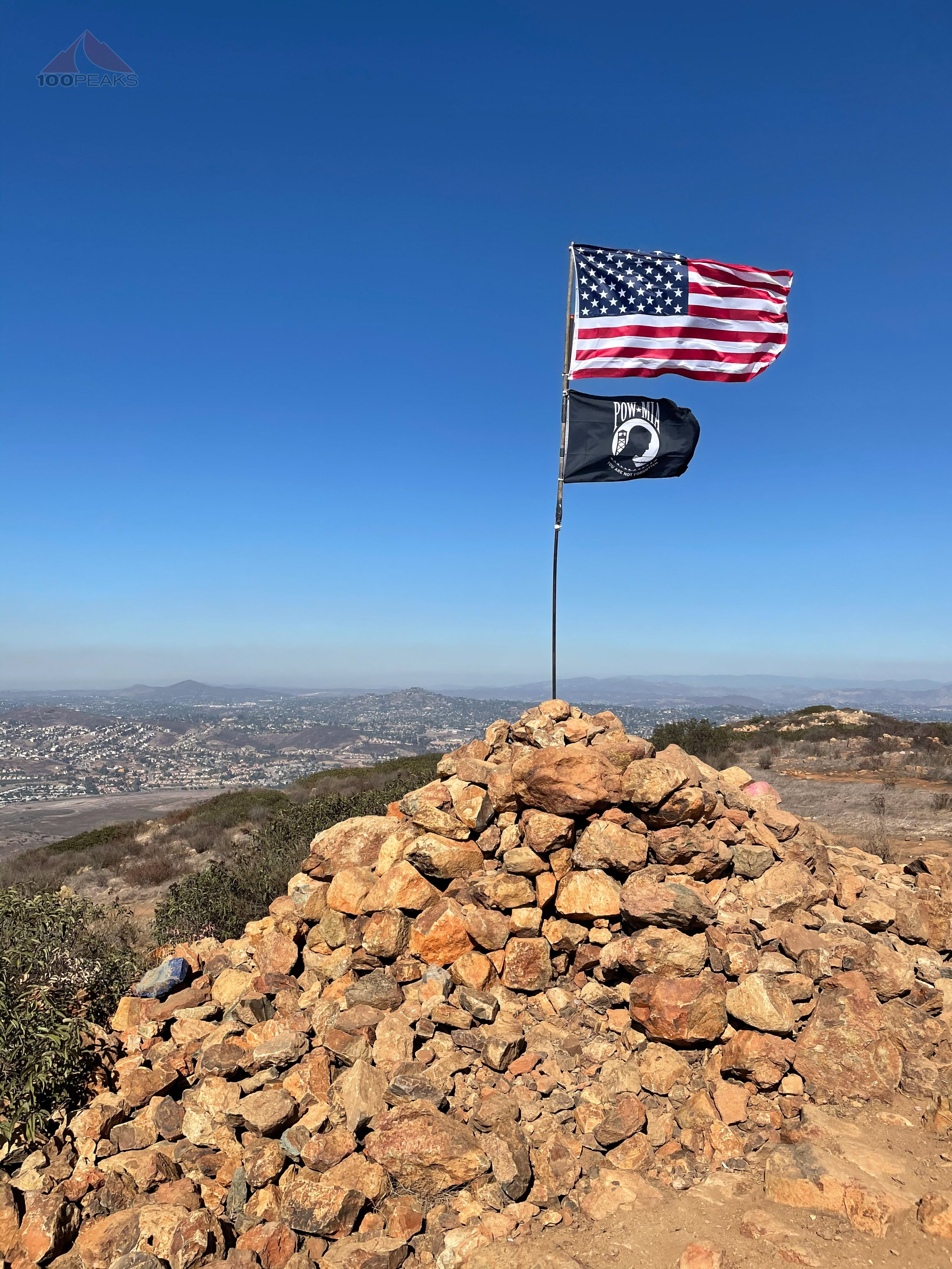
After a ton of scrambling up through boulders and avoiding acacia as much as possible. I made it to the rocky summit. The breeze was chilling as I relaxed into the warm granite and enjoyed the views around me.


It was nice to finally have made it to the top of Granite Mountain. I had attempted this peak twice and had seen this peak from all over the area for years. It is very prominent and is visible from the California Wolf Center, Whale Peak, Grapevine Mountain, Volcan Mountain, and more.
The Panoramic View from Granite Mountain (Click to enlarge)
Knowing I had over 3,000’ of elevation loss before I’d be able to truly rest for the day, I began my descent. Frustrated by the disappearing trail among the rocks, I side-hilled it along the southern edge of the ridge, sinking into the soft sand, but quickly losing elevation by avoiding the boulder maze.
I continued along the sandy south side of the ridge until the large rocks before the shoulder of peak 4624. I would have had to drop way off-course to avoid the rocks there, so I followed the cairns through the boulders, a little easier on the way down, until near the bottom, where cairns split off in several directions.
After a few tries, I found my way to the soft shoulder of 4624 and back up to the broad summit. From there, I picked up a trail of cairns I spied on the way up that pointed more north (left) than my way up. I easily followed these down a small drainage that dropped to the left of the flat spot and met up with the ridge spine use trail all the way back down to Cool Canyon below.

The view down Granite Mountain along the ridge trail. My car is a dot in the distance.
Although my knees were feeling it, the trail was easier to follow on the way down as the sun dipped below Granite Mountain behind me. My last few steps into the wash below were in the darkness as the night began to cool around me.
After what felt like an hour in the wash, I made it back to my car, driving home through the desert in the darkness.
Another successful summit in the wonderland that is Anza-Borrego Desert State Park.
Granite Mountain Trail Map (Click to enlarge)