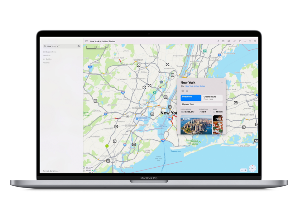
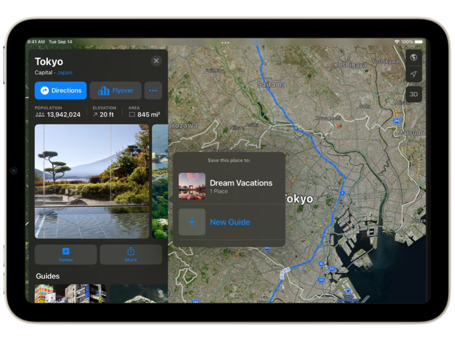
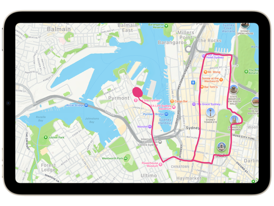
Apple Maps 📍Using Flyover to experience a city from a birds eye view, or take a closer look at cities and their landmarks as you zoom, pan, tilt and rotate 📍Displaying and exploring different parts of the world, including topographical features, landforms, and bodies of water 📍Teaching students about map reading and directions 📍Exploring historical sites and landmarks by taking virtual tours of famous landmarks and other historic sites 📍Study the environment by exploring different ecosystems, such as deserts, rainforests, and coral reefs 📍Researching and learning about the impact of human activity on the environment 📍Exploring different neighbourhoods, museums, and landmarks associated with different cultures 📍Planning and preparing for field trips by mapping out routes, finding points of interest, and planning an itinerary 💡Did you know you can also access some great free books on the Books App on iPad and Mac? Check out some more Maps ideas from ADE Simon Pile HERE. |